
Tag: 2M
-
Activation Report W7O/CM-063 Horsepasture Mountain
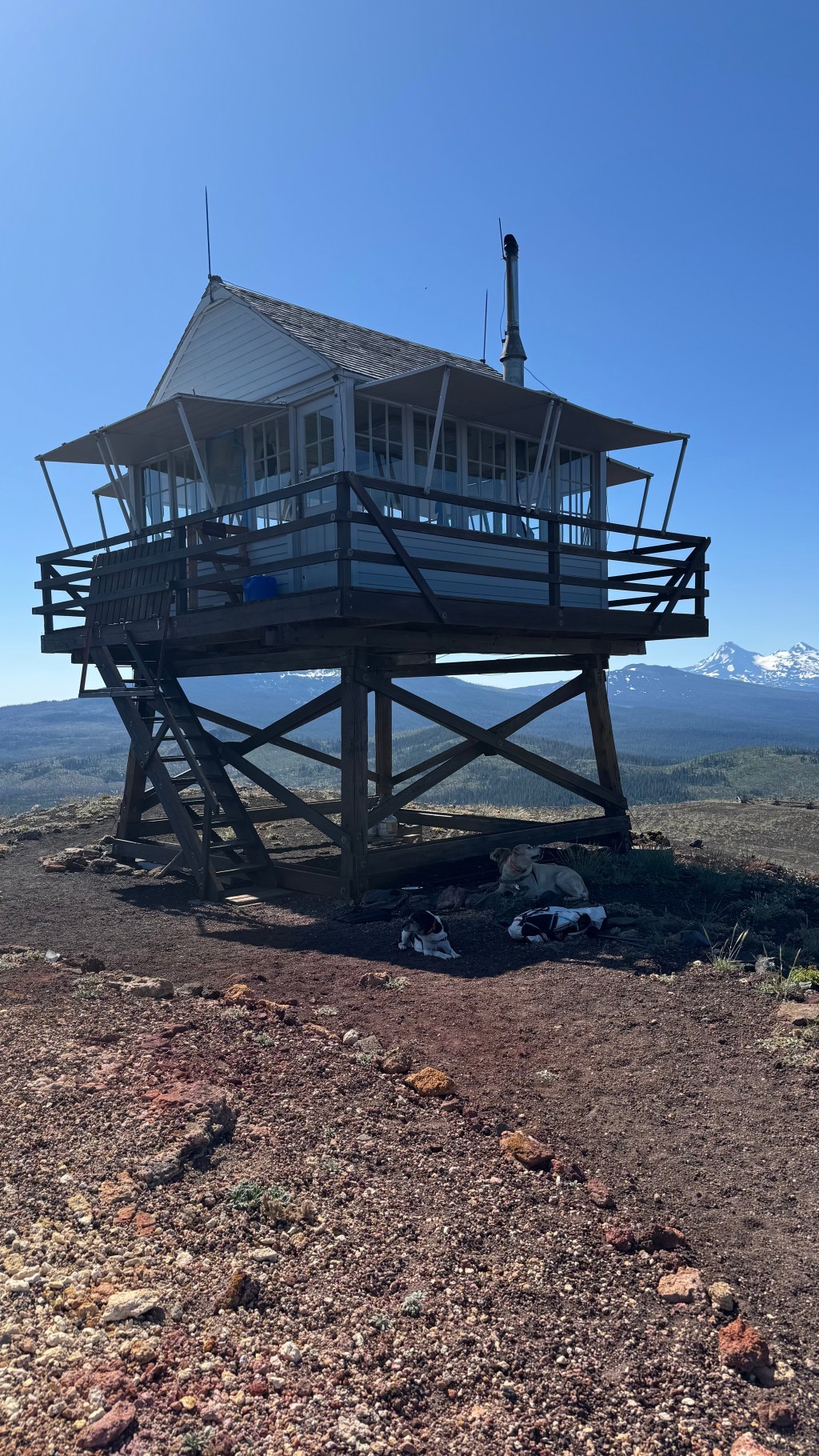
This summit had a lonely, single activation from 13 years ago and no real report. myself, N7OLE did an MTB activation of Castle Rock, W7O/CM-166 the day prior and wanted to get the doggos out for a good walk and decided this summit fit the bill. The original report from 2013 only mentions the landslide…
-
Willow Butte

Activation Report | July 2025 | W7O/CE-103 Willow Butte [W7O/CE-103] is an easy 4 pointer located in the Deschutes National Forest just 20 Miles SE of LaPine, OR. From Lapine take FS22 21 miles to NFD 2400-900. Turn south for ~ 1mile to NFD 2400-930 on the right. NFD 930 is soft and rutted but…
-
Sand Mountain
Activation Report – July 2025 – W7O/CM-077 Sand Mountain is located on the Cascade Crest in the Willamette National Forest. It can be access from the Big Lake Recreation Area with a reasonably high clearance vehicle via the Old Santiam Wagon Road, FSR 2690-810. The route was used for hauling freight over the Cascades between…
-
Activation Report: Spring Butte [ W7O/CE-154] and Green Butte [W7O/CE-117]
![Activation Report: Spring Butte [ W7O/CE-154] and Green Butte [W7O/CE-117]](https://w7mtb.blog/wp-content/uploads/2025/05/20250504_122800.jpg?w=1024)
Spring and Green Buttes are 4 pointer drive ups in Southern Deschutes County, OR. Both are accessed via Forest Road 22 in LaPine, OR, a nicely paved forest road. At about 10 miles, we turned South on NFDR2220 towards Spring Butte. At 6 miles there is a short right then left juke on NFDR2430 and…
-
Haystack Butte – W7O/CE-221
This was the last of the SOTA Summits located inside of the Crooked River National Grasslands that I needed to get in order to call them all done. N7OLE, the SOTA dogs and I decided to take it on as part of the 3rd Annual Central Oregon Summit to Summit party. Since the summits had…
-
Activation Report: Maury Mountains 5 Summits | W7O/CE-081, W7O/CE-084, W7O/CE-101, W7O/CE-265, W7O/CE-274
The Maury Mountains are a mountain range in Crook County, OR. Much of the range is within the Ochoco National Forest. Located Approximately 50 miles East of Bend, OR. There are 5 SOTA Summits within the bounds of the Maury, 3 6 pointers and 2 4 pointers. All 5 are nearly, if not complete drive ups, making it possible…
-
First Activation: W7O/SE-028 | Riddle Mountain, OR | May 2024
This is the second, first activation of the day as Randi – N7OLE and I rode our Kawasaki dual sport motorcycles during the 13th Annual Giant Loop ride the weekend of May 29-June 1, 2024. The day started on Stinkingwater Pass with the first activation of W7o/SE-051, Crowcamp Mountain. After finishing our delicious hamburgers at…
-
Activation Report: W7O/CE-208 – Pine Ridge, OR | October 2023
I have a goal of activating all the summits in the Crooked River National Grassland before the end of 2023. The journey started back in January with Juniper Butte [W7O/CE-223] on the Western edge of the Grassland. In March, Tim-N7KOM and I hit Gray Butte [W7O/CE-180] and Sister’s View [W7O/CE-303] on a blustery spring day…
-
Activation Report: W7O/CM-007 – Ball Butte, OR | September 2023
Ball Butte is a volcanic mountain of the Cascades in Deschutes County, Oregon, United States.[1] Its summit has an elevation of 8,091 feet and is located southeast of Broken Top KK7HJL, N7KOM, Lance the dog and XYL DF joined me on this outing to Ball Butte on a fine September morning. There is no established trail to the butte but it is relatively easy to…
-
First Activation: W7O/CE-317 – East Butte, OR
First used for fire detection in 1932 with a 30′ pole L-4, a replica of this original tower was constructed in 1995. Staffed in the summer, it is listed on the National Historic Lookout Register. East Butte is approximately 45 SE of Bend, OR and is easily accessible by any passenger car via FS-23/25 (paved)…

