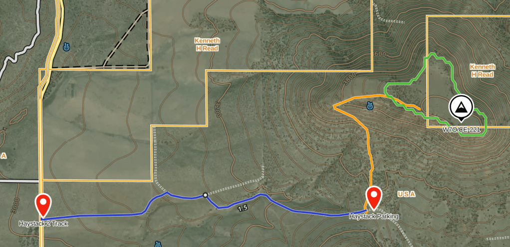
This was the last of the SOTA Summits located inside of the Crooked River National Grasslands that I needed to get in order to call them all done. N7OLE, the SOTA dogs and I decided to take it on as part of the 3rd Annual Central Oregon Summit to Summit party. Since the summits had only been activated a couple of times previously and access was questionable, I decided to head out the day prior to check out some alternate access points in our newly aquired Ford Bronco. I first attempted to drive in the way that W6PZA describes in his trip report from 2020. I found his route and drove in as far as I could get, but ran into a fence line about 1 mile off the pavement and from my studies of GaiaGPS maps I was confident I could find a better launch point. After back tracking to the pavement I found a second 2-track that looks as though it ends in a horse corral, but on further inspection, I found a gate on the back of the corral and was able to continue on the 2 track for another 1 mile to a high point that also had a large, flat parking area. I pinned this as a good starting point and sketched in a bush wack route to the top in Gaia.
On the morning of the S2S Party, we all loaded up in the Bronco and headed back to this parking spot, anticipating a short, steep bush wack to the summit. As we pulled in, I noticed that there what looked like a barbed wire gate and beyond a very old 2 track. We crossed through the gate with the intent of following the old jeep road up as far as we could get before commencing our steep bush wack. To our great surprise, the jeep trail turned into a single track trail and continued a gradual climb to the West and then switched back up to the summit and all the way into the AZ. From the parking area it was exactly 1 mile to our chosen activation spot, and another .3 to the tippy top of the trail, making this a very pleasant hike.
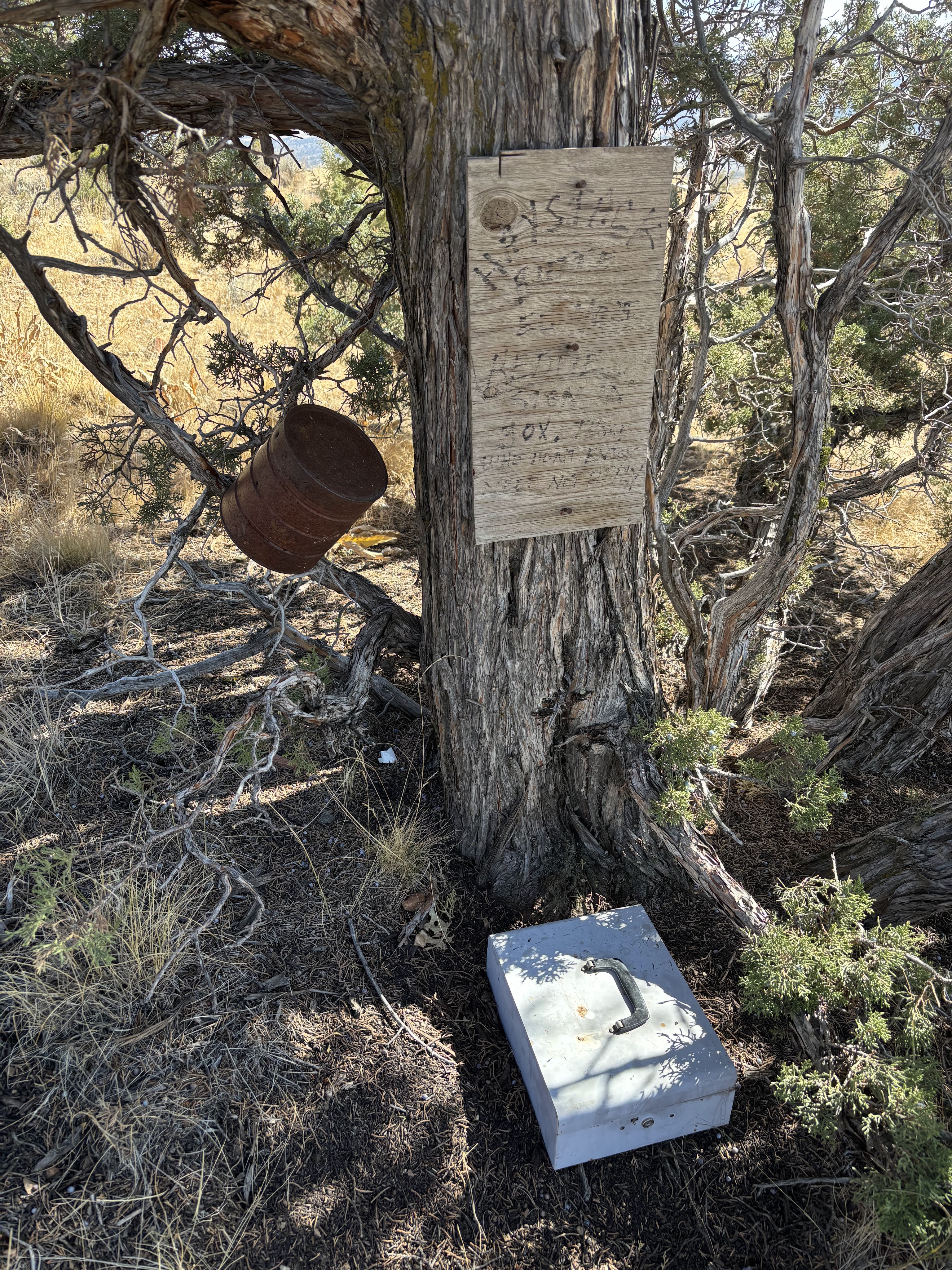
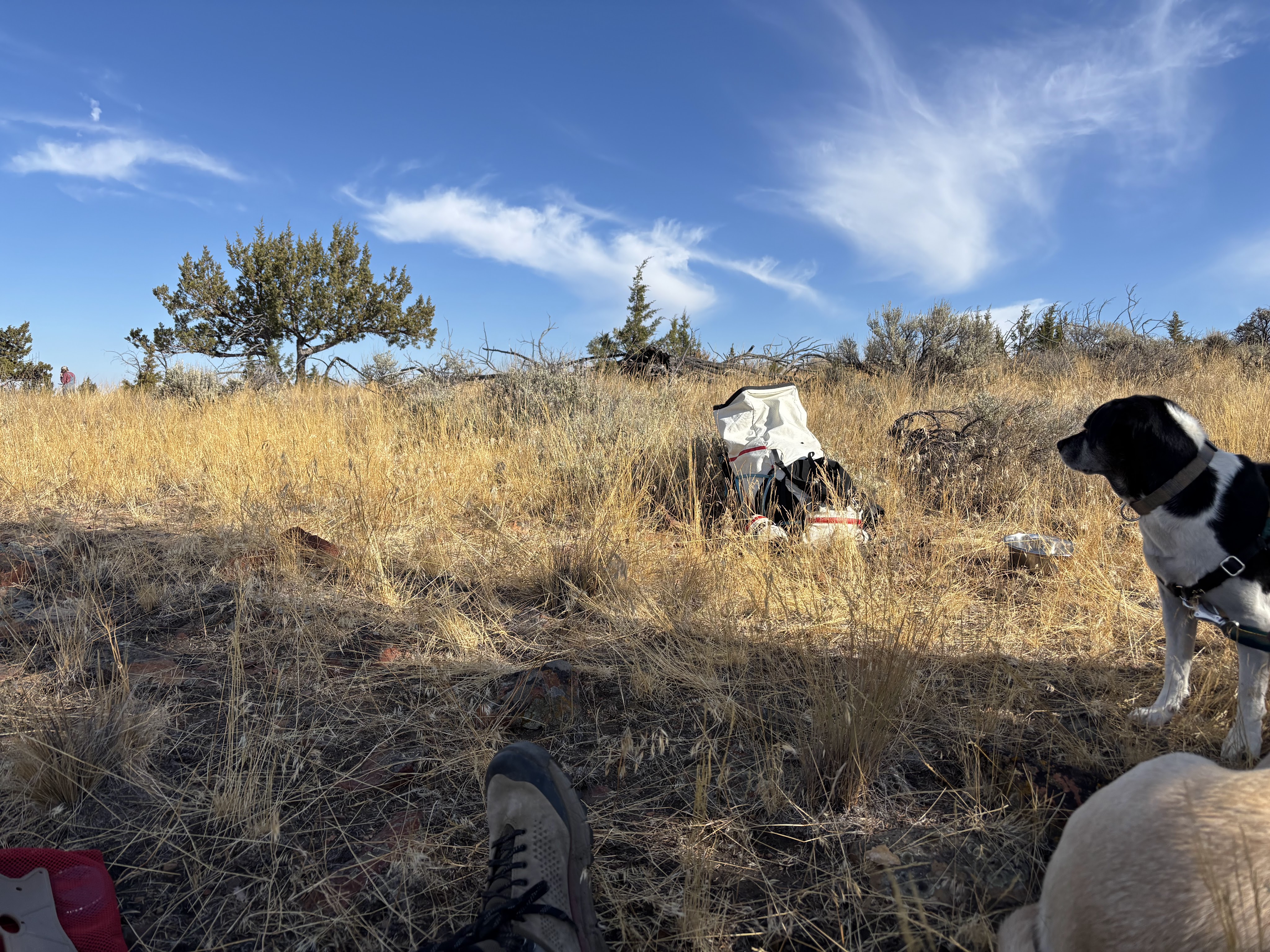
We setup the net control station and ran the party from a beautiful spot overlooking the grasslands, with Gray Butte to the South and Juniper Butte to the east. After a couple of hours the dogs were getting anxious and we were getting hungry so we packed up and headed down. We noticed a lock box with a log book so I signed us in and to my surprise, the book had many, many entries from recent hikers, one just the day prior.
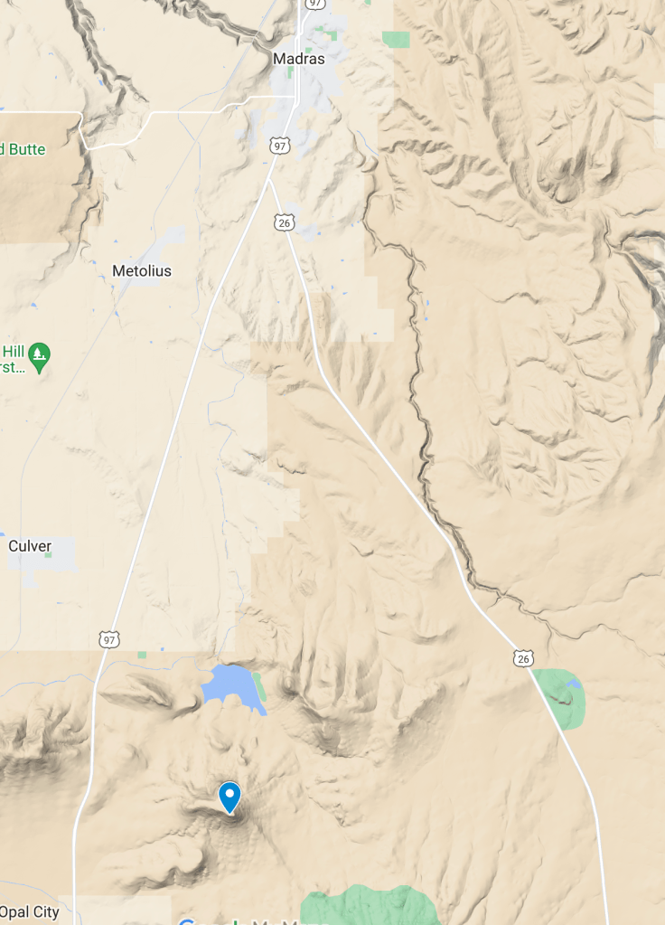
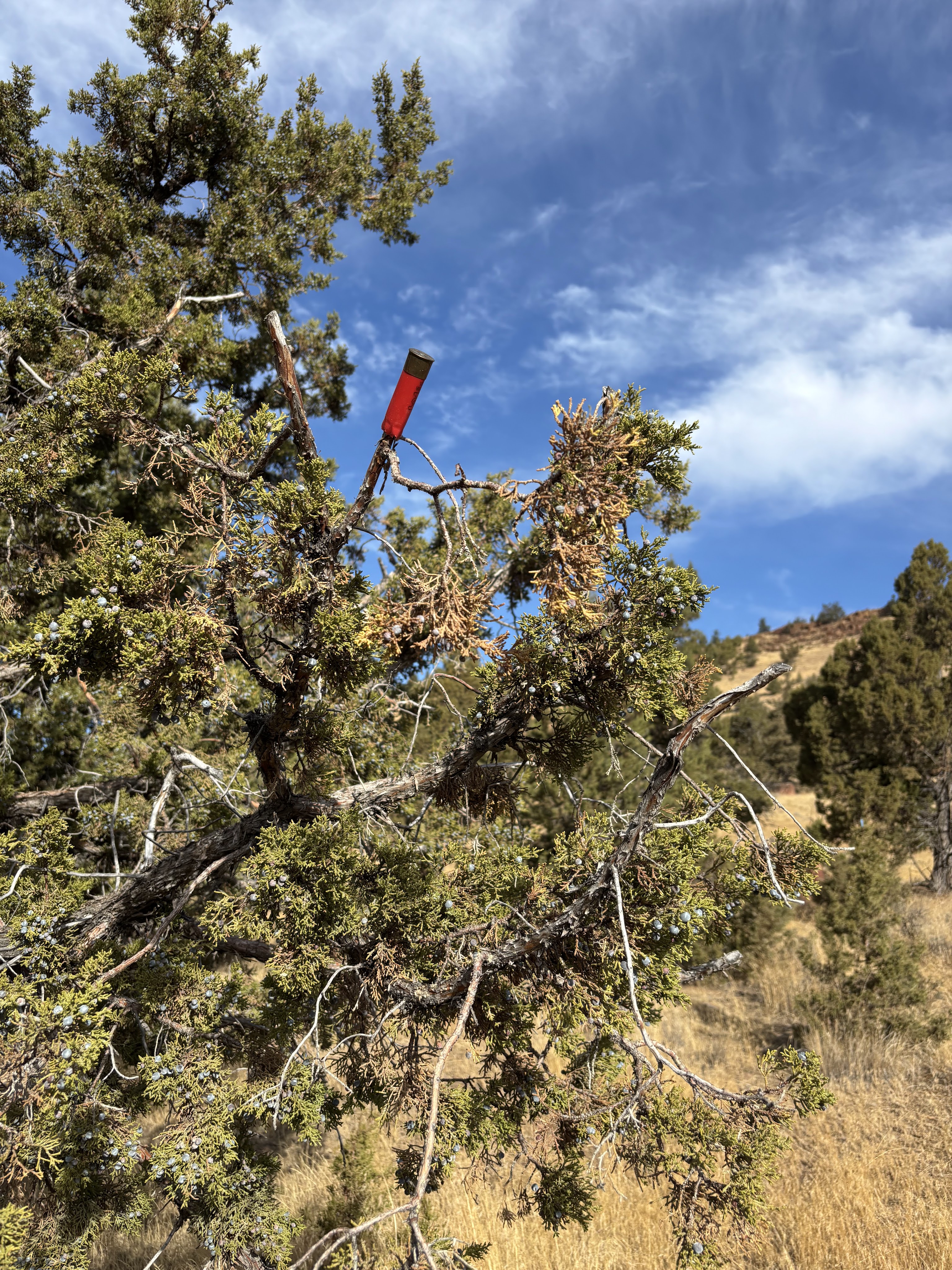
Haystack Butte is located on the Northern end of the Crooked River National Grasslands, between US Highway 97 to the West and US Highway 26 to the east, about 15 miles south of Madras, OR. Access the 2 track road from SW Culver Highway at GPS Coordinates 44.45999, -121.18937. Head east for 1.6 miles to the natural high point and a large open area at 44.46047, -121.15927. Proceed North across the 2 track, threw the barbed wire fence gate and continue north on the old jeep road. Look for the red and green shotgun shell casings attached to the juniper trees where the trail gets faint and you will eventually hit the very obvious trail. Continue up for 1 mile into the Activation Zone.
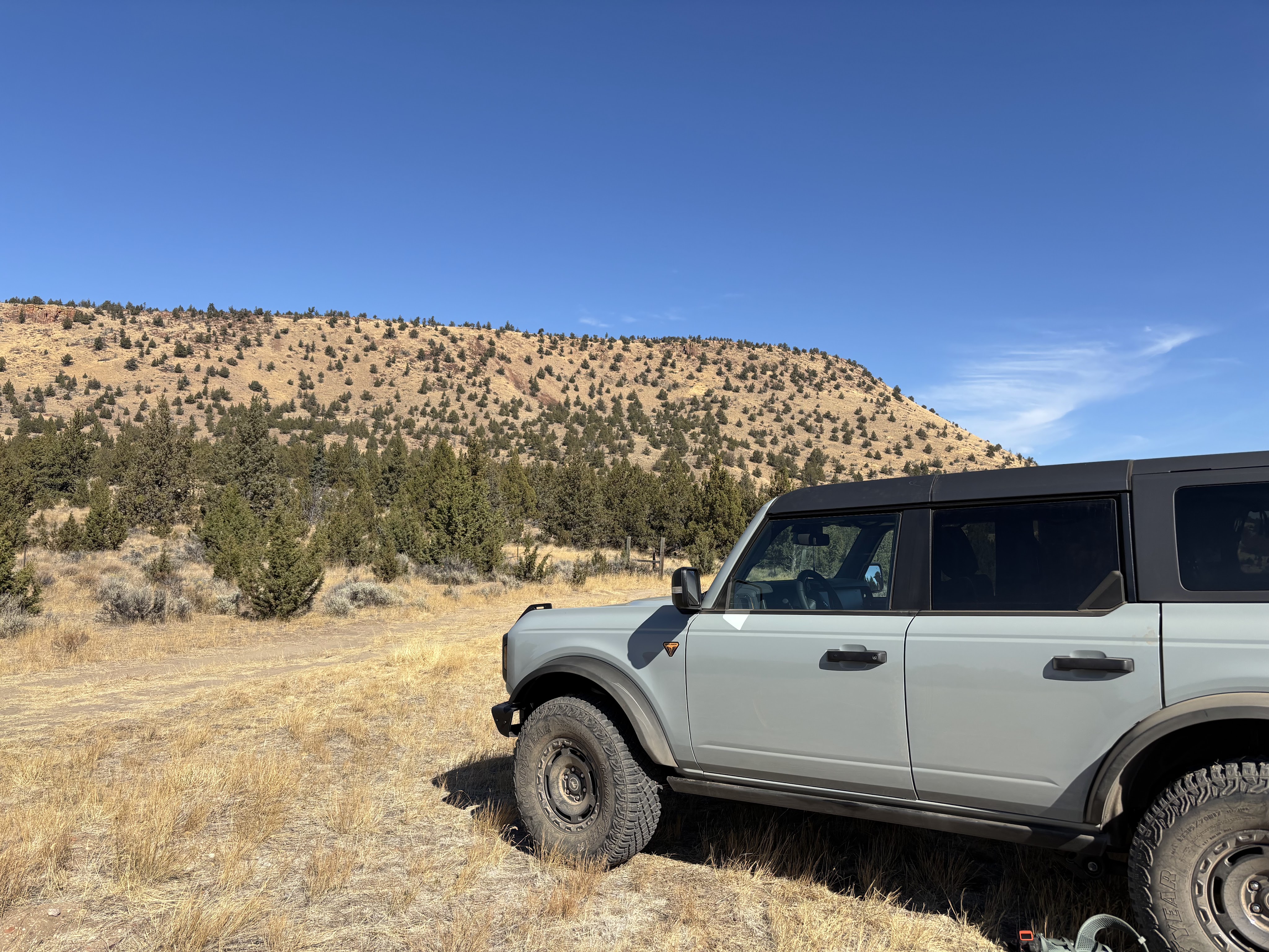
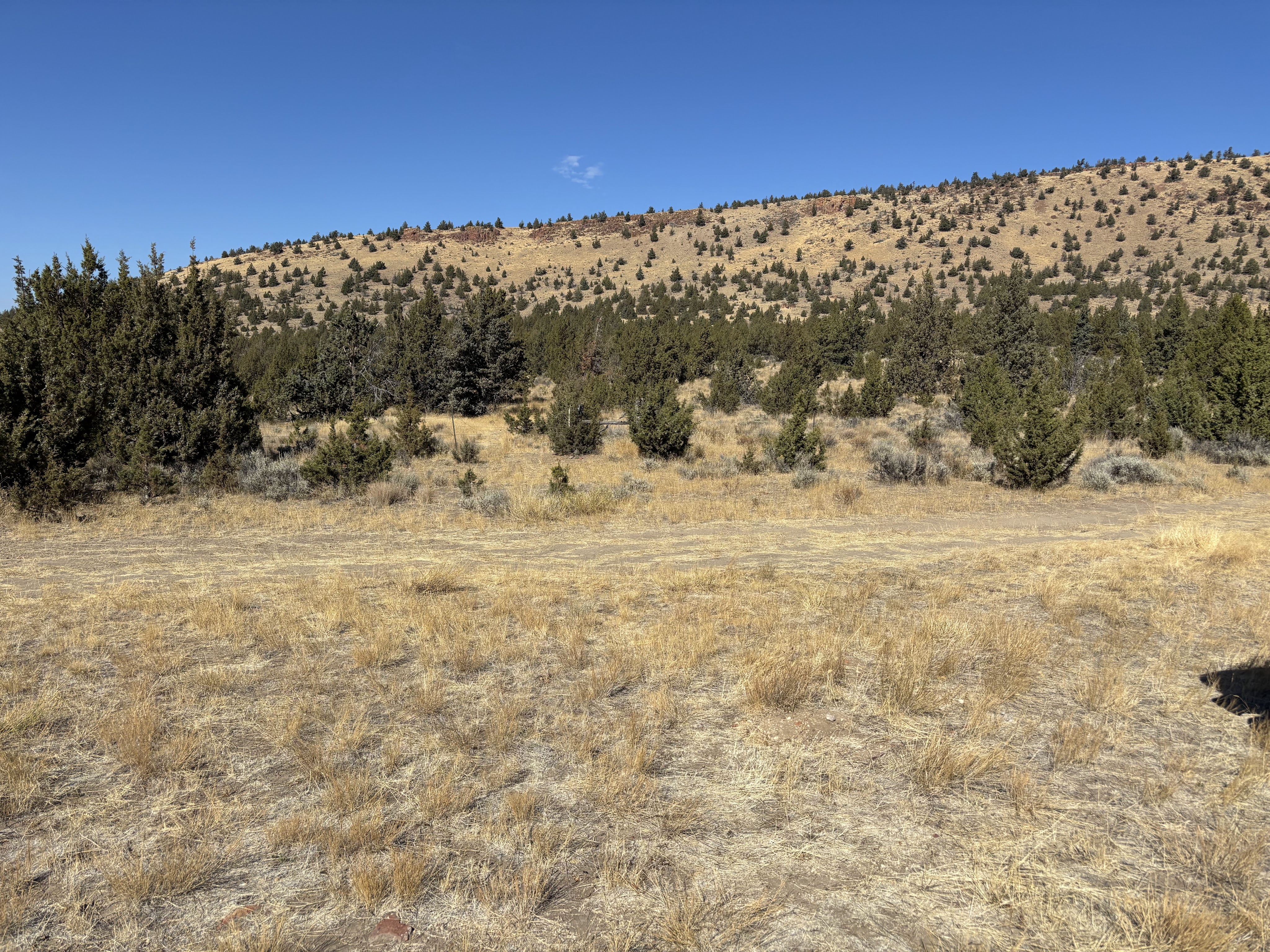

This turned out to be an easy activation. The road has some rutted sections where having a high clearance vehicle is nice but not necessary. Since we were hosting a S2S Party, 2M was no problem, but we also worked many locals on 2M. There are plenty of old Juniper snags to tie off a mast to for HF. Have fun!

Leave a comment